Citizen Science for Ecology

The Sparrow Project is a long-term ecological documentation citizens-science initiative.
You’ll join by submitting the area(s) you wish to document, committing to documenting your zone at least 3 times per year. A person familiar with and observing their area will notice nuanced changes in the ecology, and will be familiar with the current land use and rights in those zones should they witness any kind of corporate disruption.
Ultimately, you’re signing up to be a protector of the land areas you document and archive, as well as taking action because you care about the potential of what is possible, during and after this lifetime.
<3 <3
🦉 🍃 🌎
All Are Welcome.
Sparrow Project Advocates For:
- S ~ Species Monitoring
- P ~ Proactive Awareness
- A ~ Action Research
- R ~ Recovery Efforts
- R ~ Rewilding Initiatives
- O ~ Organized Outreach
- W ~ Wildlife Stewardship
EXPLORE:
<aside>
🗺️
About: (this section covers the pillars of how this project works
Start Here:
</aside>
<aside>
🗺️
Missions: (all of these need work)
For Drone Operators:
For Ground Level:
Science/Research Hub: Learn More
Forms:
</aside>
Other Sections to Add:
- EDUCATION
- Ecological Science and Studies, Local and Federal Policy/Planning, Water Rights/Water Protection, A.I. For Ecology, At Home Food Sources - Hydroponics, Foraging, etc
- CAUSES - Other nonprofits advocating for and providing resources on similar causes
YOUR SUBMISSIONS SUPPORT:
Citizen science is an essential tool for scientific research. By documenting vegetation and landscape changes over time, we can help scientists understand:

AI Driven Analysis of your Documentation for Actionable Solutions
By documenting plant health and growth patterns, citizen scientists help identify early signs of disease, drought, or invasive species. With the help of applications like PlantNet AI, which is another citizen science project, long-term data can be analyzed to predict outbreaks and environmental stressors, enabling proactive solutions to maintain the health of entire ecosystems.

Longterm or Immediate Changes & Challenges to Local Geology
Tracking environmental shifts caused by climate change, pollution, or natural disasters provides crucial data. AI technology can process long-term patterns and real-time changes, alerting researchers to sudden ecosystem disruptions and offering predictive insights for better disaster response and resource management.
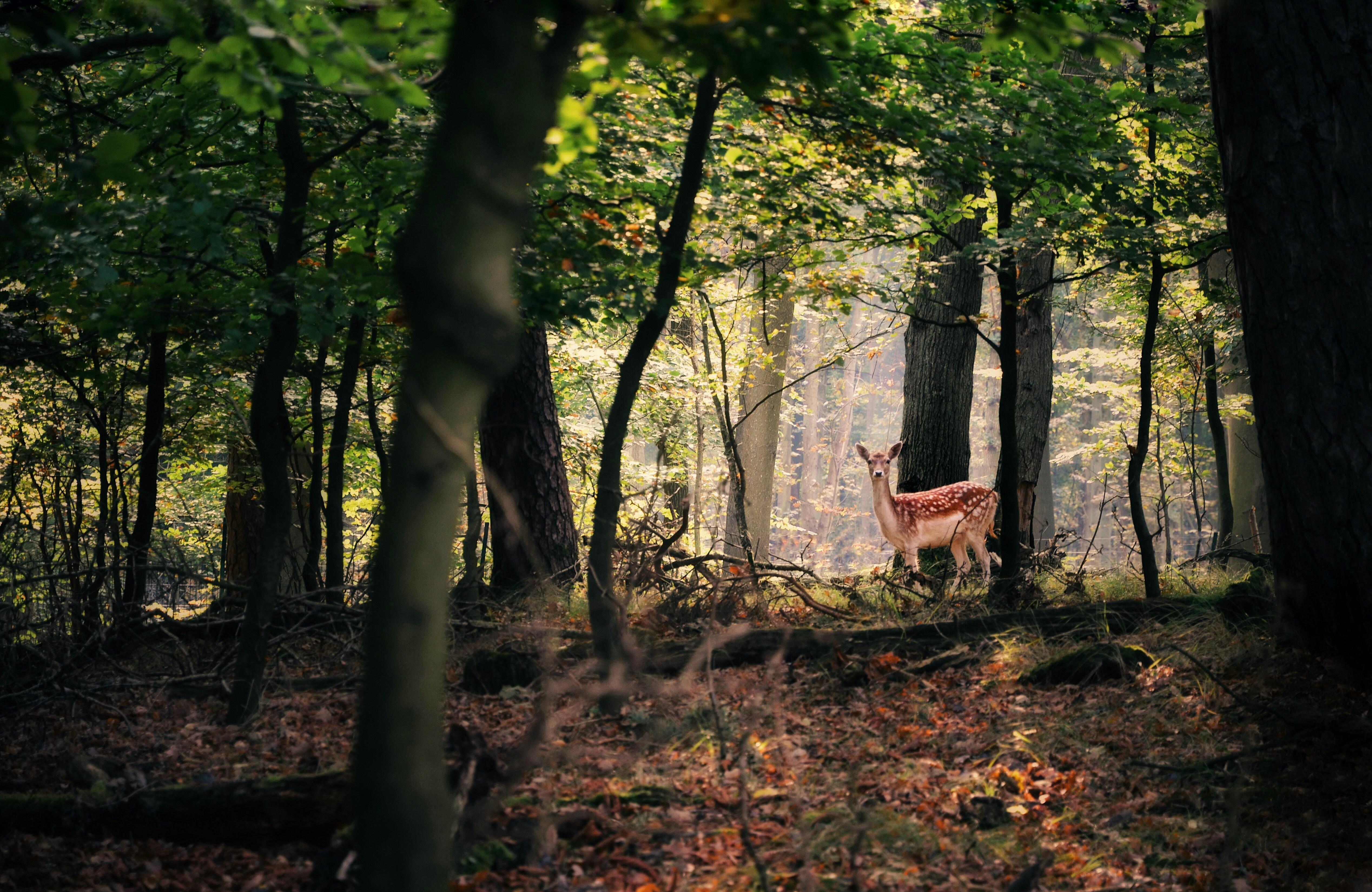
Protecting & Restoring Ecosystems and Habitats for Wild Vegetation and Wild Animals
Observing wildlife habitats and population dynamics is essential for protecting biodiversity. AI tools can analyze collected footage and data, identifying trends in species behavior and population changes. This allows us to react quickly to potential threats to endangered species and develop smarter conservation strategies over time.
WAYS TO PARTICIPATE
There are 3 simple steps to participate in this citizen science effort, which are outlined below. We ask that each member is able to commit to surveying their area at least 3 times per year, as well as during or after any legitimate weather events or external events. This way we can track both long term gradual changes, as well as be poised to document any short term sudden impacts on the environment (i.e. post hurricane).
1. Boots on the Ground Documentation
Using your handheld smartphone device works perfectly! Simply record footage of the area, getting close-ups of key areas, vegetation, changes you notice etc.